An Emergency Transportation Plan to Fix Boston's Transit Crisis
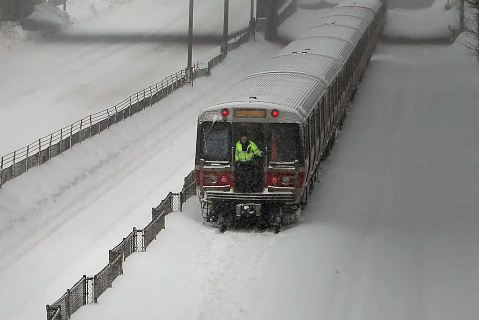
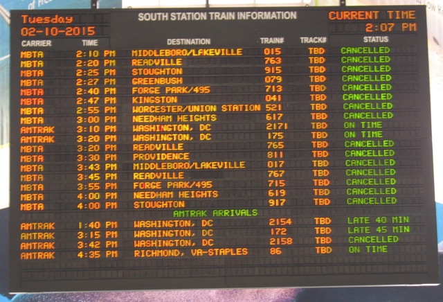
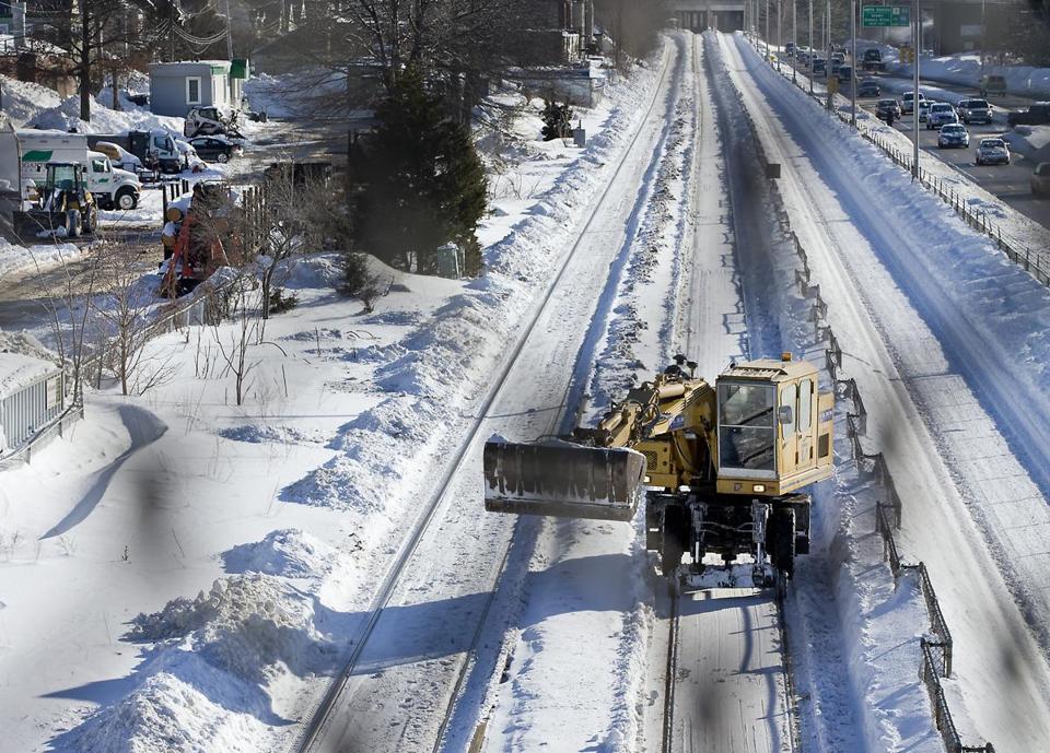
Yesterday we learned that due to decades of neglect the MBTA will need at least 30 days to restore service to the normal level of delays, signal problems and disabled trains we're used to. While there is plenty of blame to go around, right now we must focus on the current emergency.
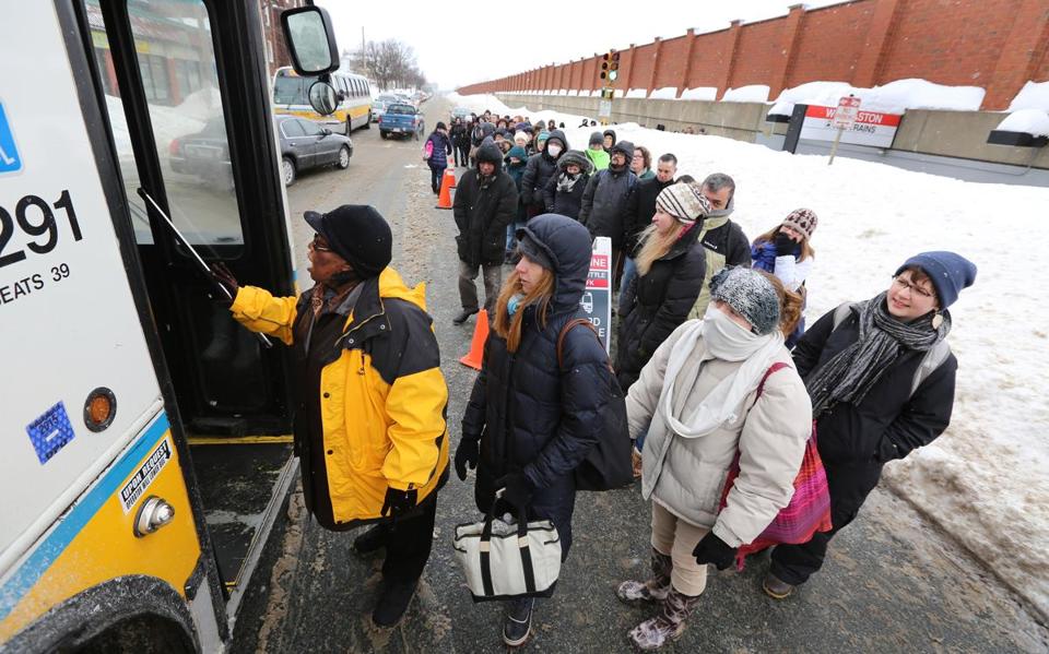
We must act quickly to implement a temporary transit network that would people to resume their lives before the state's economy collapses and half the city's population is out of work. Mayor Walsh and MBTA General Manager Beverly Scott should seek help from cities and transit agencies who have experience with natural disasters. With bold political leadership and around 1,000 buses from across the northeast we can put an emergency transportation plan into action.
For guidance we should look to MTA New York City Transit, which in 2012 implemented emergency "bus bridges" connecting Brooklyn and Manhattan two days after Hurricane Sandy knocked out all subway service in the city's core (photos). The city used simple cones to create dedicated bus lanes along the shuttle route and police officers to enforce the lanes and keep over 200 buses moving on each route. MTA also ran a long-term shuttle route to replace the A line in Queens and a year earlier replaced suspended commuter rail service after Hurricane Irene.
Here and now, a network of emergency shuttle bus routes must be created based roughly on known travel patterns. Bus routes would not exactly mimic subway corridors but they would get you into the city's core where you can walk or use what's left of the T. Some routes would use dedicated bus lanes and receive priority over all other traffic, with police enforcement, while other corridors would be open only to buses. For all of the issues with bus service, the MBTA does a great job running shuttle bus links such as Harvard-Alewife and Lechmere-North Station when things are planned in advance.
Cars carrying fewer than 3 occupants would be prohibited from entering the city or using major highways inside Route 128. Slug lanes would allow those who must drive from suburban areas to pickup additional passengers before continuing on. Large parking lots along I-495 and Route 128 can be turned into park-and-ride lots with bus shuttles operating in dedicated bus lanes on all major highways.
Bikes must be part of the solution. It is certainly cold outside but desperate times call for desperate measures. Better to ride 3 miles in the cold than wait for a bus in the cold for the same 15 minutes, and every 50 bikes represents one more bus available elsewhere. Designating corridors like Washington St, Massachusetts Ave, Huntington St and Commonwealth Ave for buses and bicycles only would enable reasonably fast limited-stop bus service while giving people people a safe place to ride. Secure bicycle parking tents can be setup in several downtown locations and an emergency ordinance could require most office buildings to allow bikes inside until full subway service resumes.
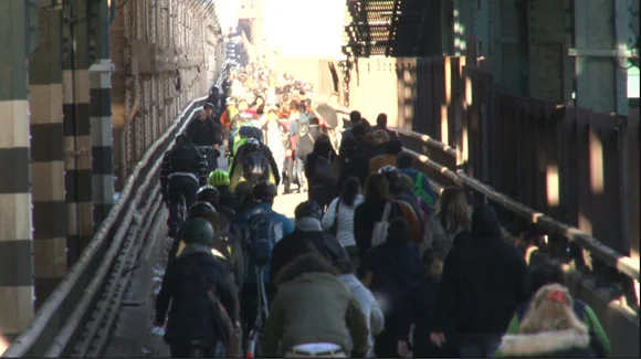
Walking should be encouraged whenever possible in order to minimize stress on the transit system. Bostonians have not experienced a transit strike in recent decades but experience from other cities shows people will gladly walk a few miles if they can. Currently our sidewalks are a treacherous mix of snow and ice, so vehicle lanes can be converted to pedestrian lanes until sidewalks are clear, with some key roads open to buses and pedestrians only.
Some of these measures may sound extreme, but desperate times call for desperate measures, and I believe even the harshest critics of transit would be surprised by how well the city would function if they would just allow a demonstration.
At the very least, this plan would prevent the total collapse of the region and it is our chance to show definitively that a fast, frequent and comprehensive transit network is invaluable to the entire region. Eventually we'll wonder how we ever lived without one.